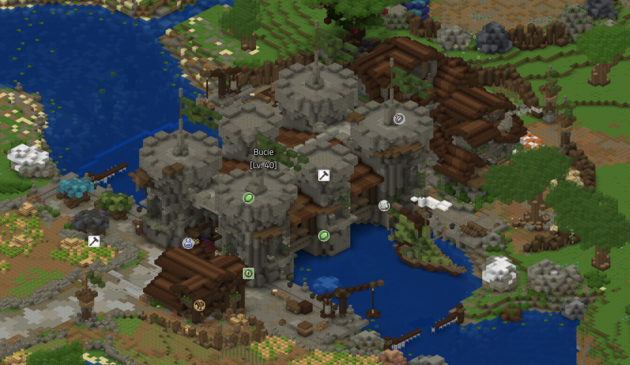
File:BucieMapAerial2.png
Jump to navigation
Jump to search

Size of this preview: 800 × 463 pixels. Other resolutions: 320 × 185 pixels | 2,006 × 1,162 pixels.
Original file (2,006 × 1,162 pixels, file size: 3.5 MB, MIME type: image/png)
Summary
Updated aerial view of Bucie to update the page on Bucie.
Licensing

|
This file is from Wynncraft or uses textures from Wynncraft Art Kit. The textures are copyright Wynncraft. |
File history
Click on a date/time to view the file as it appeared at that time.
| Date/Time | Thumbnail | Dimensions | User | Comment | |
|---|---|---|---|---|---|
| current | 20:32, 6 April 2021 | | 2,006 × 1,162 (3.5 MB) | Ocel0tgirl (talk | contribs) |
You cannot overwrite this file.
File usage
There are no pages that use this file.