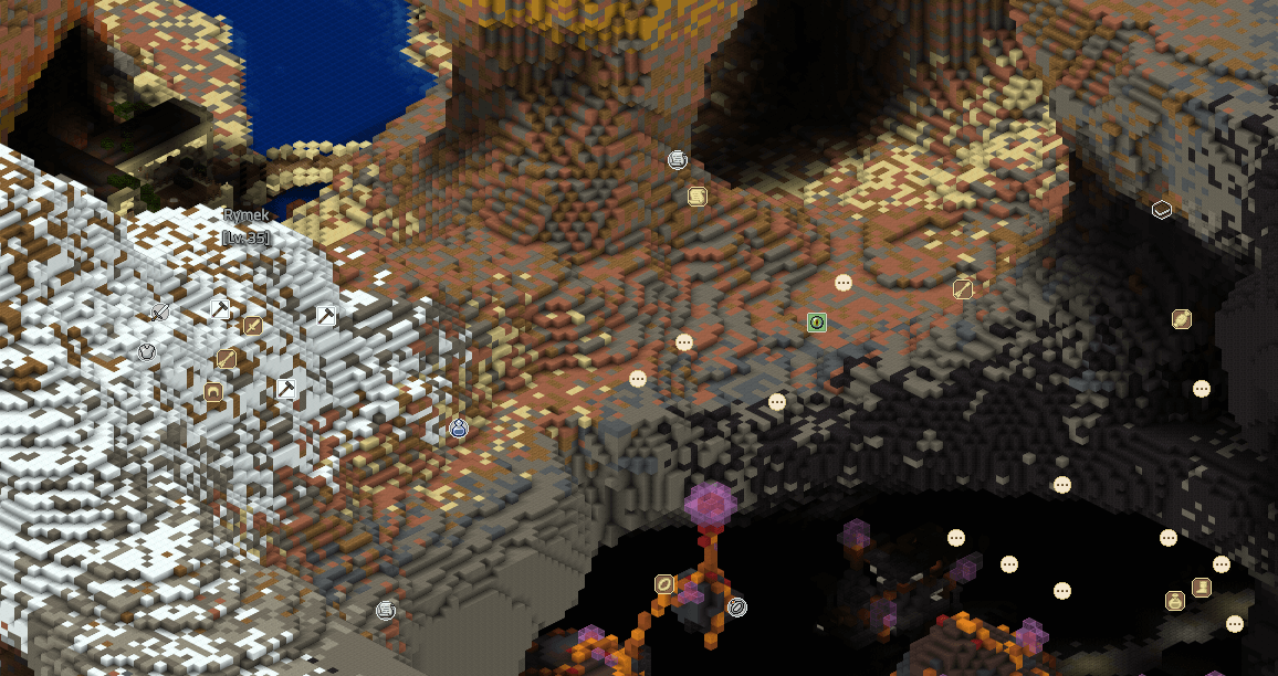
File:Rymek Map Aerial.png
Jump to navigation
Jump to search

Size of this preview: 800 × 424 pixels. Other resolutions: 320 × 169 pixels | 1,156 × 612 pixels.
Original file (1,156 × 612 pixels, file size: 221 KB, MIME type: image/png)
Map view of Rymek. The screenshot was taken by the RogueHatter. The screenshot was taken on 12-19-16 at 2:40 pm PST.
License

|
This file is from Wynncraft or uses textures from Wynncraft Art Kit. The textures are copyright Wynncraft. |
File history
Click on a date/time to view the file as it appeared at that time.
| Date/Time | Thumbnail | Dimensions | User | Comment | |
|---|---|---|---|---|---|
| current | 14:39, 15 October 2020 | | 1,156 × 612 (221 KB) | Vainock (talk | contribs) | == Summary == Updated |
You cannot overwrite this file.
File usage
The following page uses this file: